 Not far from Monsanto (which I’ve mentioned before) you can find the village of Penha Garcia. Today I’ll be telling you about my experience with a specific hiking trail in the area. After some looking around on the internet, prior to the trip, I settled for the PR3 trail – the ‘fossil route’.
Although it is only 3 km long and considered easy it proved to be more difficult than I was expecting and posed its own challenges – and it seemed to be the longest 3 km ever!
When I talked about the hiking trail I did in Gerês I mentioned a kind of dos and don’ts list. Well, next time I should remember to follow my own advice! We didn’t take any food with us because, well, it was just 3 km… Note to self: always take food, even if only some snacks. Ok, it’s a short hike but then you stop for pictures and “Oh, a pretty flower” and “Is that a bird of prey?” and “Hey, look at that!” and… you get the picture: what should have taken 1 hour or so can easily take 2 or 3 hours long.
So grab your camera and put on your trekking shoes – the journey starts here:
 Yes, that’s a combat tank from the 1970’s. And yes, the bright colours in the back mean that there’s a playground there too. This is also the place where you’ll be parking your car.
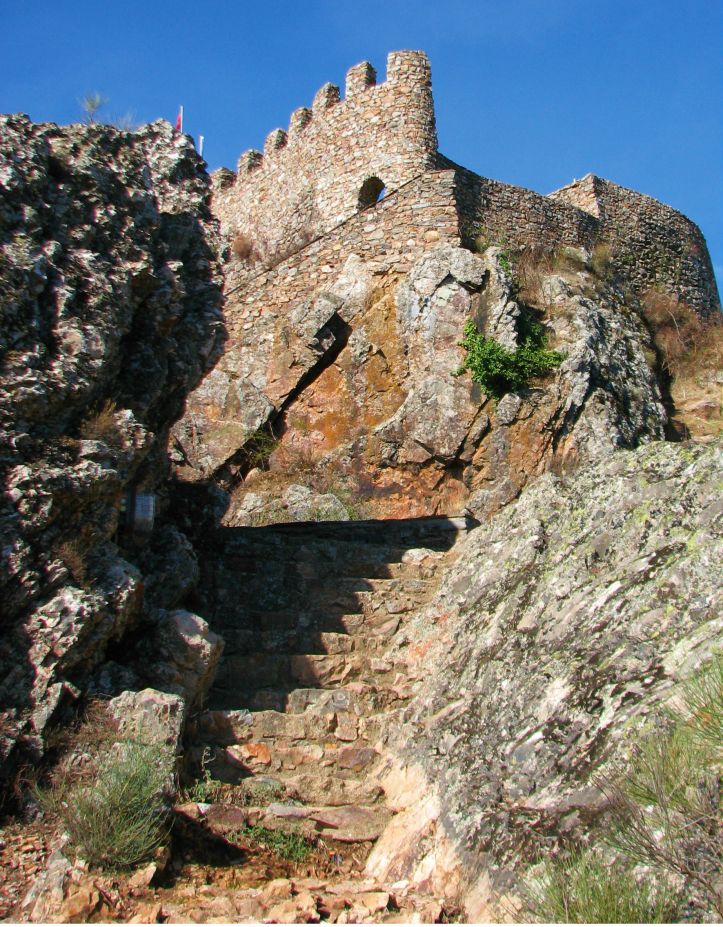
You follow the usual hiking signs, going all the way up until you reach the castle. Before entering the castle look down: yes, we’ll get there.
 The castle is basically a small fortification.
 But it allows for some great views and angles.
 Most of the trail is really rocky and at this point you’re going down towards the river, so watch your step!
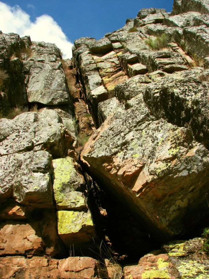
 All of this area is a good spot for climbers.
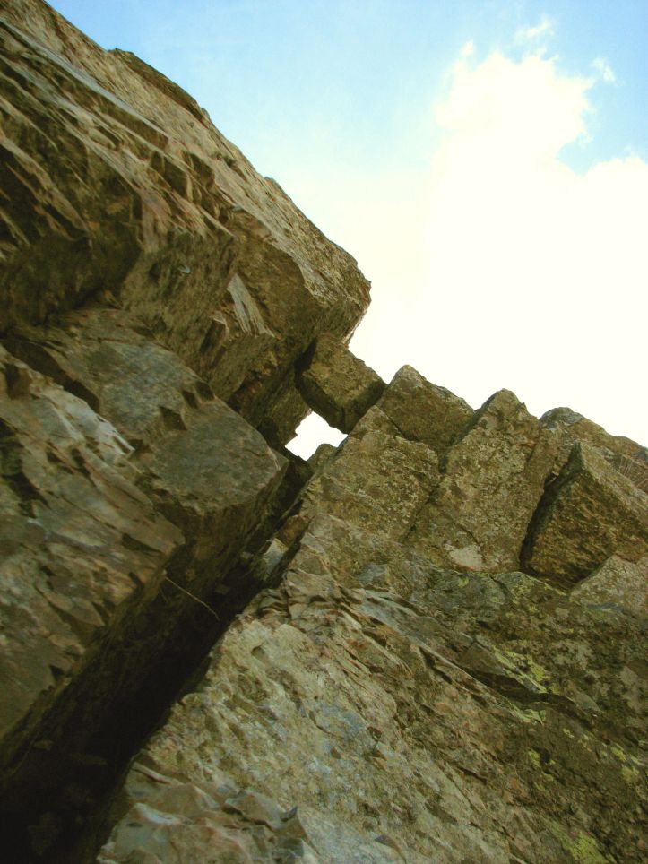
 I took this next picture just to give you an idea of the size of the whole thing. These guys from the photo above? Here they are again:
 I found this detail amazing:
 At about one third of the way you’ll reach a dam. Look to your left:
 The trail keeps taking you down, where you’ll find a few old houses. These used to belong to millers and now they’re a sort of small museum. You can’t really see it here but there’s a relatively intricate system to control the water flow into the mill. They keep it in working order for educational purposes. If you’ve never seen a water mill this is a good chance to take a look at the engineering behind it!
 In these houses you can also see some objects from back in the day where you had to, for example, spin your own wool.
 One of the things this area is known for: fossils (this is the fossil route, remember?). One of the houses hosts some of them but if you keep your eyes open (and know what to look for) you can also see several fossils along the trail.
 Right after you leave the area where the houses are you get to a small river beach:
 Tempting – especially after all you’ve walked so far!
 This is where things started to look less than good. When you reach the sign below just ignore it and keep to the trail to your right, which will lead you back to the village.
 Maybe it was the work of some prankster or maybe some of the signs ahead were covered in foliage/had been eaten by an army of ants/taken as a souvenir by visiting aliens – I don’t know. What I do know is that after a while we had to, almost literally, walk on water:
 This is a kind of swampy area and this is where I found myself thinking “Yeeeeah… this doesn’t really look like the right trail”. Actually, right after this there were no more signs or anything that looked like a trail, so we went back to the sign on the penultimate photo and headed back to the village.
Final verdict: It was harder than expected (especially because of all the extra strain on the knees while you’re walking down in the rocky terrain) and obviously the whole confusion towards the end was not a very good thing. All in all, however, it was fun and we got to see so many things we wouldn’t have seen otherwise. If your teenagers are adventurous and like fossils this could be an interesting option.


Nice pics. The tank looks a bit surreal!
The tank is a “souvenir” from the so-called colonial war. Why put it near the playground? I have no idea! Maybe it was one of those “where am I going to put this?” moments!
I walked with you, without any knee pain though.
You were lucky! 😀
Your narrative here is fascinating and makes one truly want to explore this area of Penha Garcia. But it is your exceptional photos that make it so compelling, so enthralling. Thank you for posting this, and yes, it does look like it’s much longer than 3 km!
Thank you! I tried to show the best angles, although if I had shown everything the post would have been 2 or 3 times bigger!
Yes – exactly what I was going to comment on. At one point I’m sure I could feel the warm air!
With a little more effort I’m sure you could have also felt your legs and feet tired from walking! 😀
Looks lovely – I’ll have a go at it myself next time I’m in the area. Thanks for the heads up about the disappearing signs. Sadly, it happens all too often that just when you need them the most, they are nowhere to be found!
It’s a lovely walk, really. I don’t know what happened with the signs, it just stopped making sense at some point. That is why I always take a good map with me!
Where do you find good maps?!
Usually the hiking trails’ official leaflets have very decent maps (you can find them in tourism offices and/or the internet). If it’s a potentially dangerous area (like some parts of Gerês, where you can actually get lost… and if there’s a sudden fog or storm things can look pretty bad) I like to take a military map (the term for that in Portuguese is “carta militar”). You can get them by contacting the Portuguese Army and, obviously, you have to pay for the print outs. You select the area that you want to have printed and the scale – needless to say, they’re very accurate. The real problem is when there are recent changes in the landscape, like after a flood or a landslide after heavy rain, which is why I like to check with the local tourism office (or friendly locals) *before* starting the hike.
Thanks for the tips. I find the official PR leaflets too vague in general so maybe I should try the military maps. Any idea which army department to contact?
Go here http://www.igeoe.pt/ and then choose “cartogramas” on the left side menu
Thank you so much! Will do it now. There’s a walk a friend and I did near Gondromaz, one of the schist villages near Lousã where we got very confused by the signs and the PR leaflet was of no use. We ended up rock climbing at one point and had to double back in the end. I’d like to see a proper map for the area before attempting it again 😉
Reblogged this on photographyofnia.
WOW! So beautiful… especially the door with the red chilly fascinated me. I loved them all. Thank you, love, nia
[…] posts featuring the castles shown on this post: Sintra, Óbidos, Leiria, Santa Maria da Feira, Penha Garcia, Marvão, […]